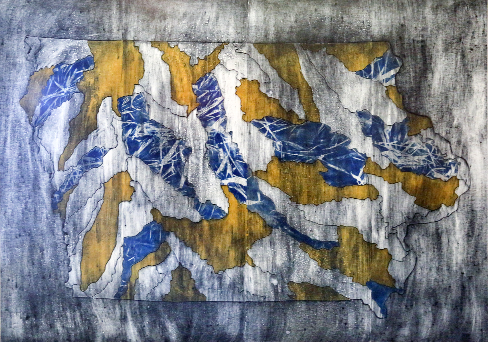
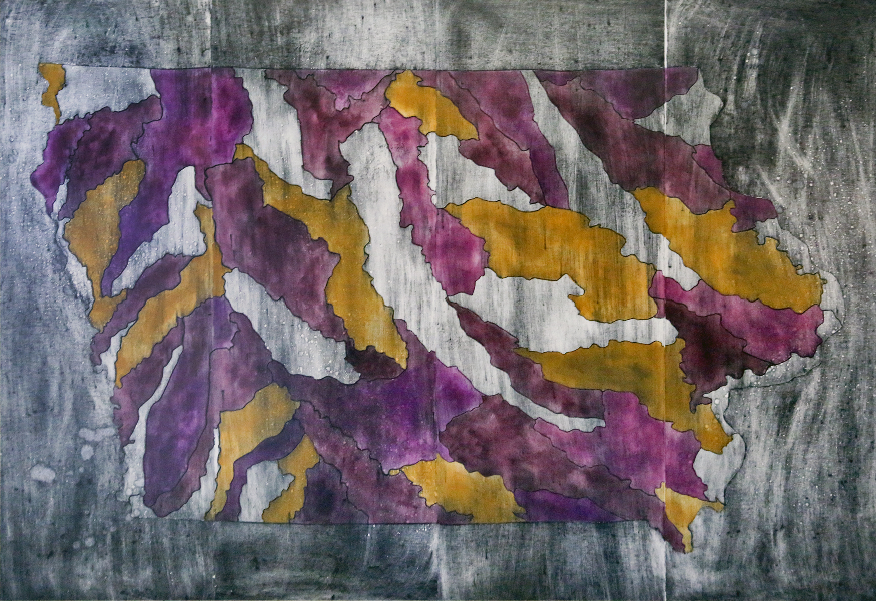
Created by the Land Ordinance of 1785, the Jeffersonian Grid began to form the land of Iowa into square-mile sections. Intended to develop the nation into that of “yeoman farmers,” this land division system drastically reshaped the landscape of Iowa, from native ecosystems of prairie, wetlands, and oak savannas to agricultural plats, more easily sold and purchased by the mass of immigrants that moved west over the next 150 years. This system developed for platting and selling became the arbitrary division of land across this state, unravelling organic ecosystems into squares with little thought for the natural mechanisms of the environment. These artworks, Division of Land 1-4, contemplates the spatial separation of Iowa through the counties and through the watersheds. Consider the consequences if the county borders were that of the watersheds. How would your life be different?